574-213-2723  Call Us Today!

Drone Photography

Aerial photography reveals striking property details unseen at ground level…

High Altitude

High altitude images reveal neighborhood amenities surrounding a property. These elevated views highlight nearby features that add value and context. They help buyers see the property within its broader neighborhood setting.

Schedule Drone Photos

Low Altitude

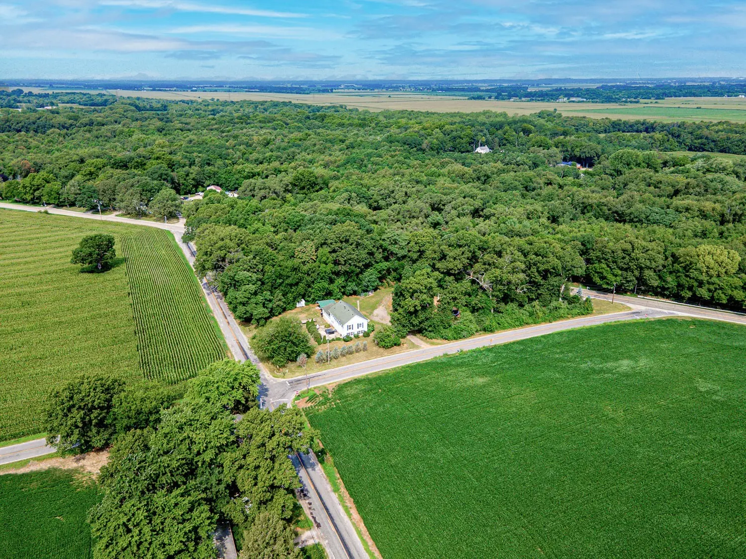
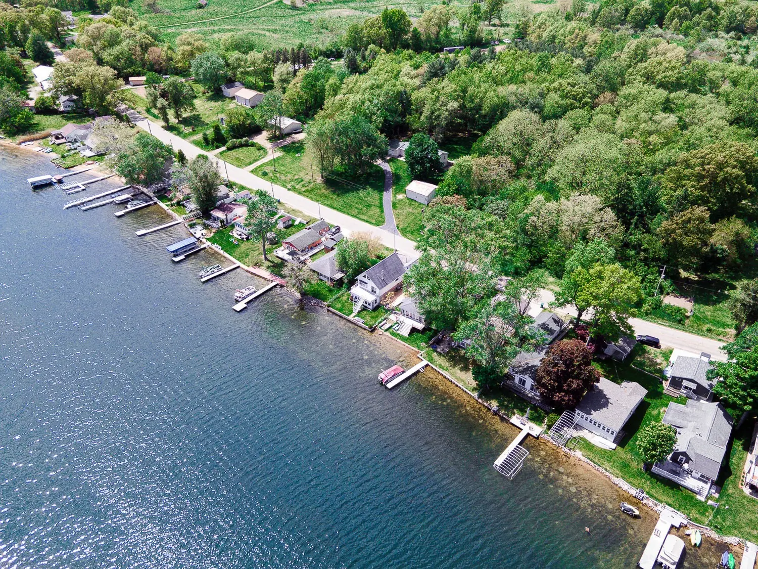
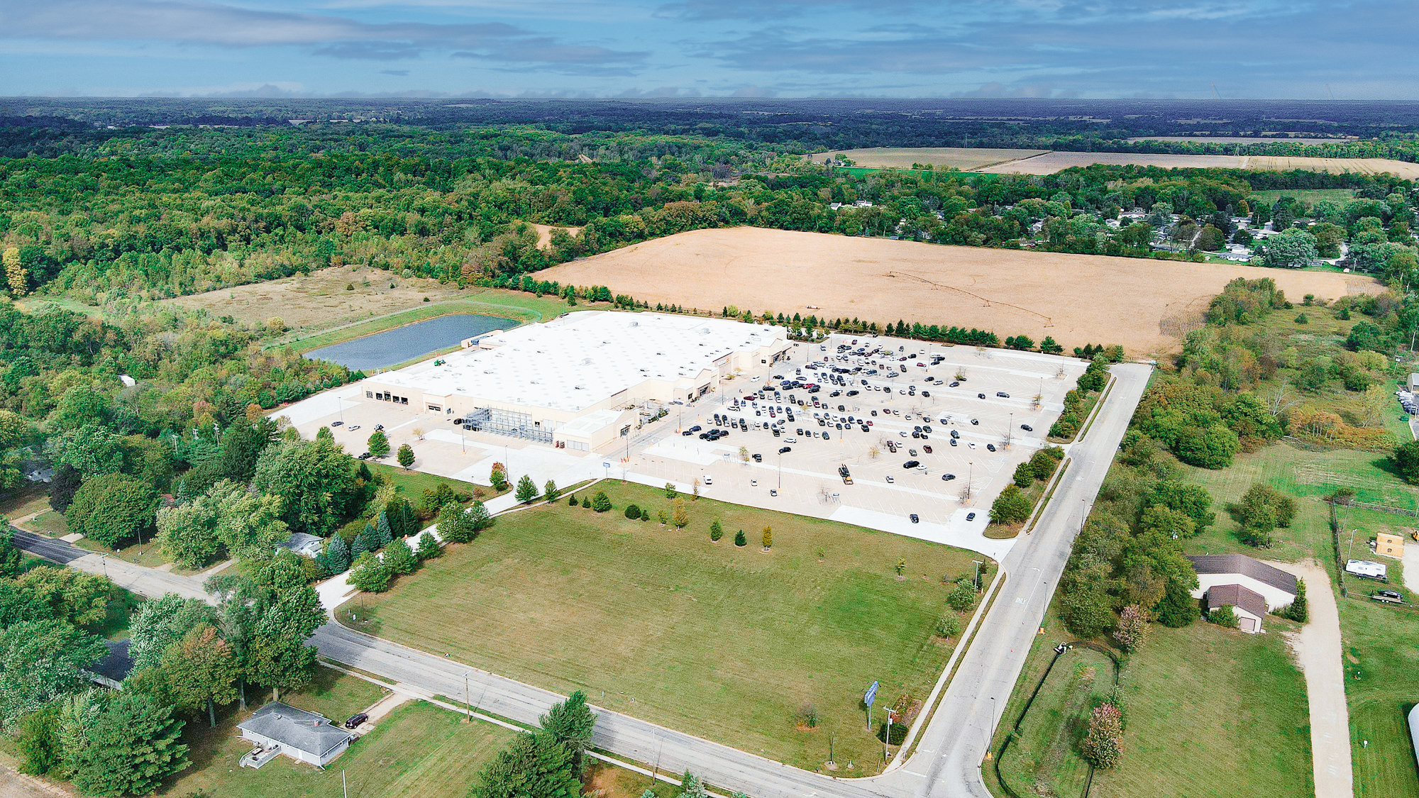
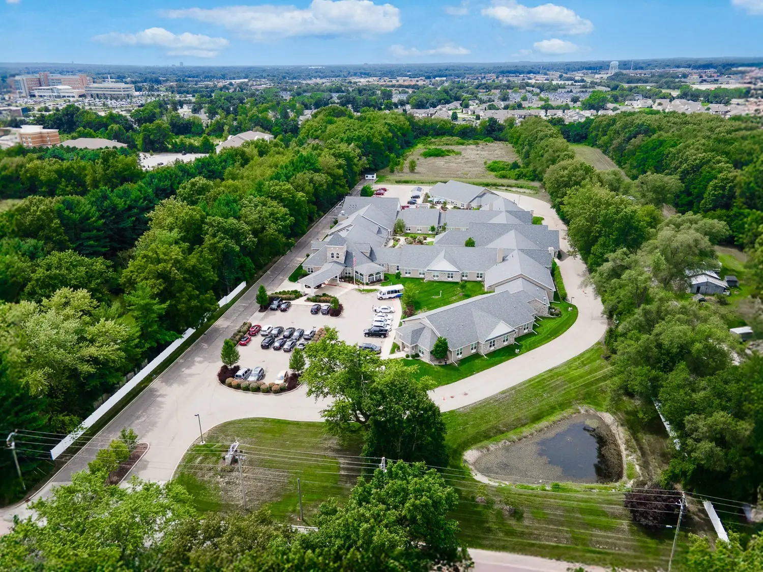
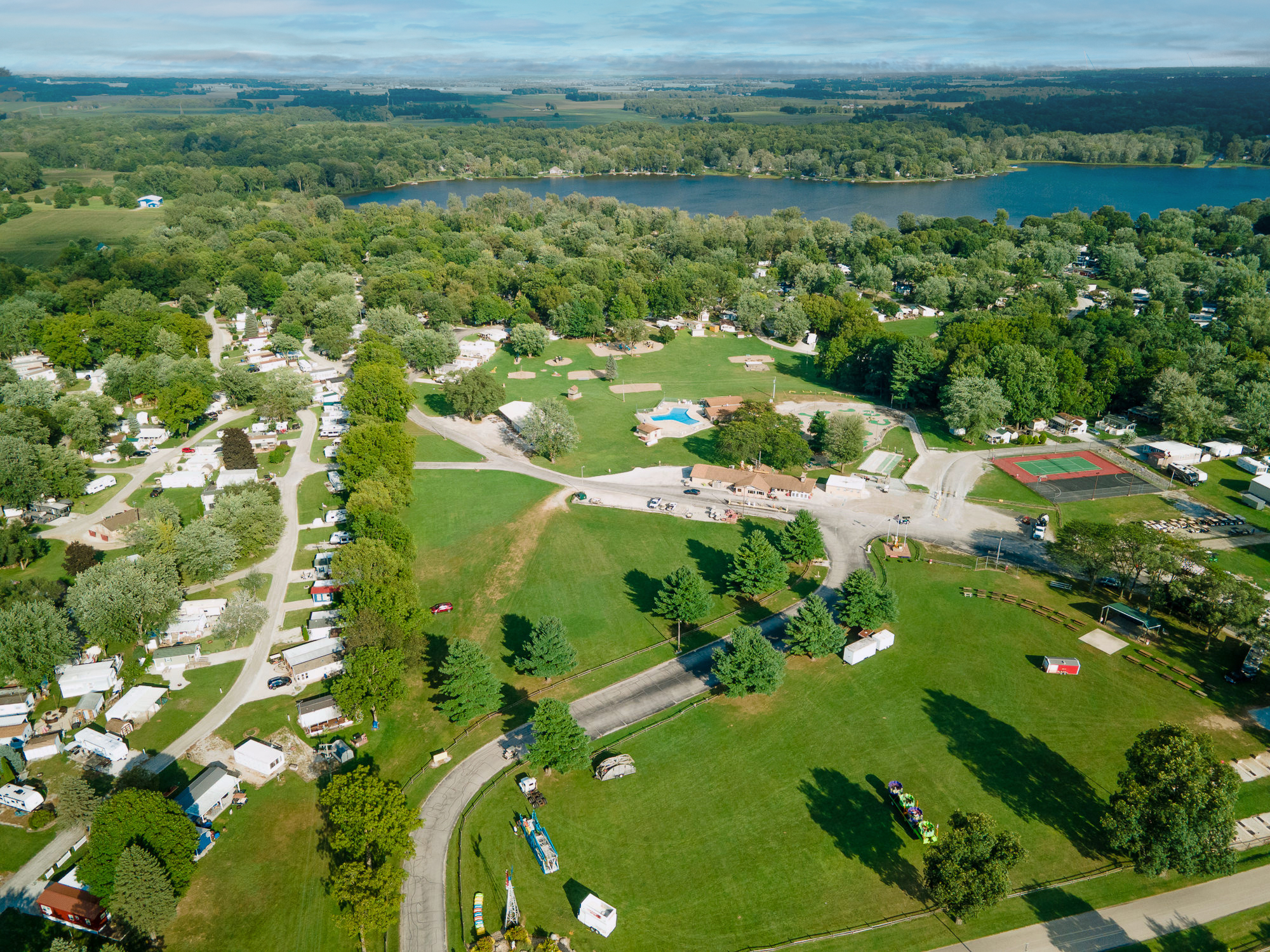
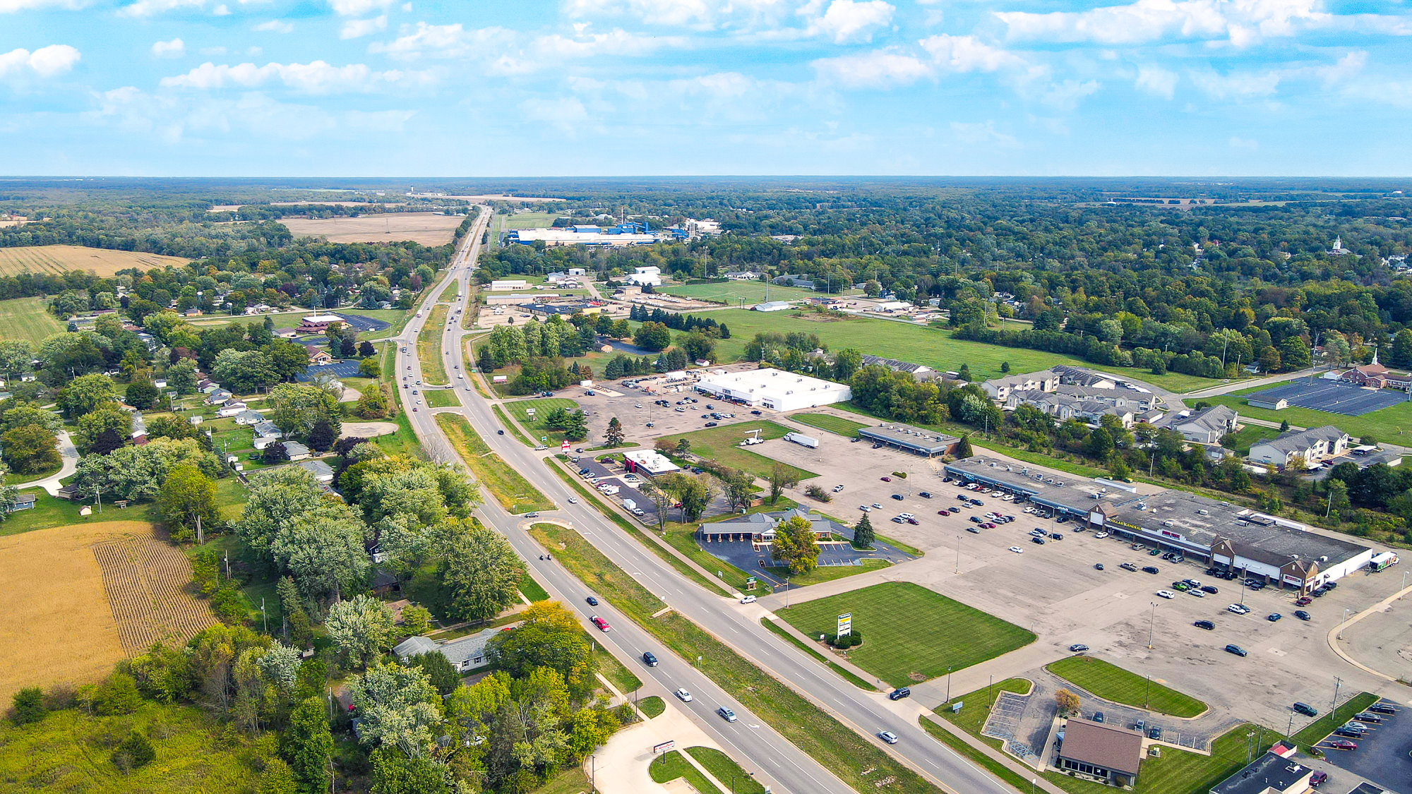
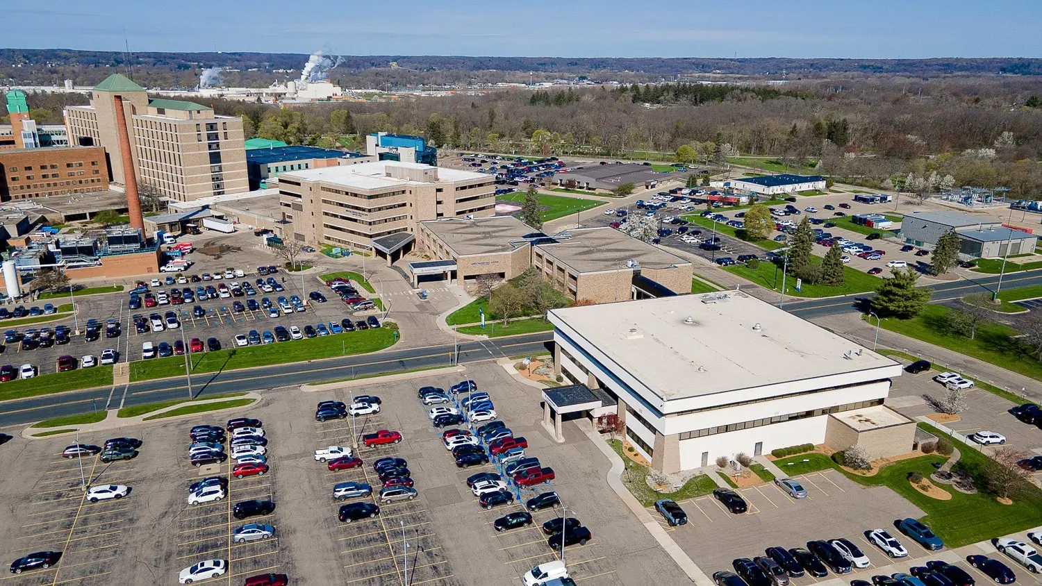
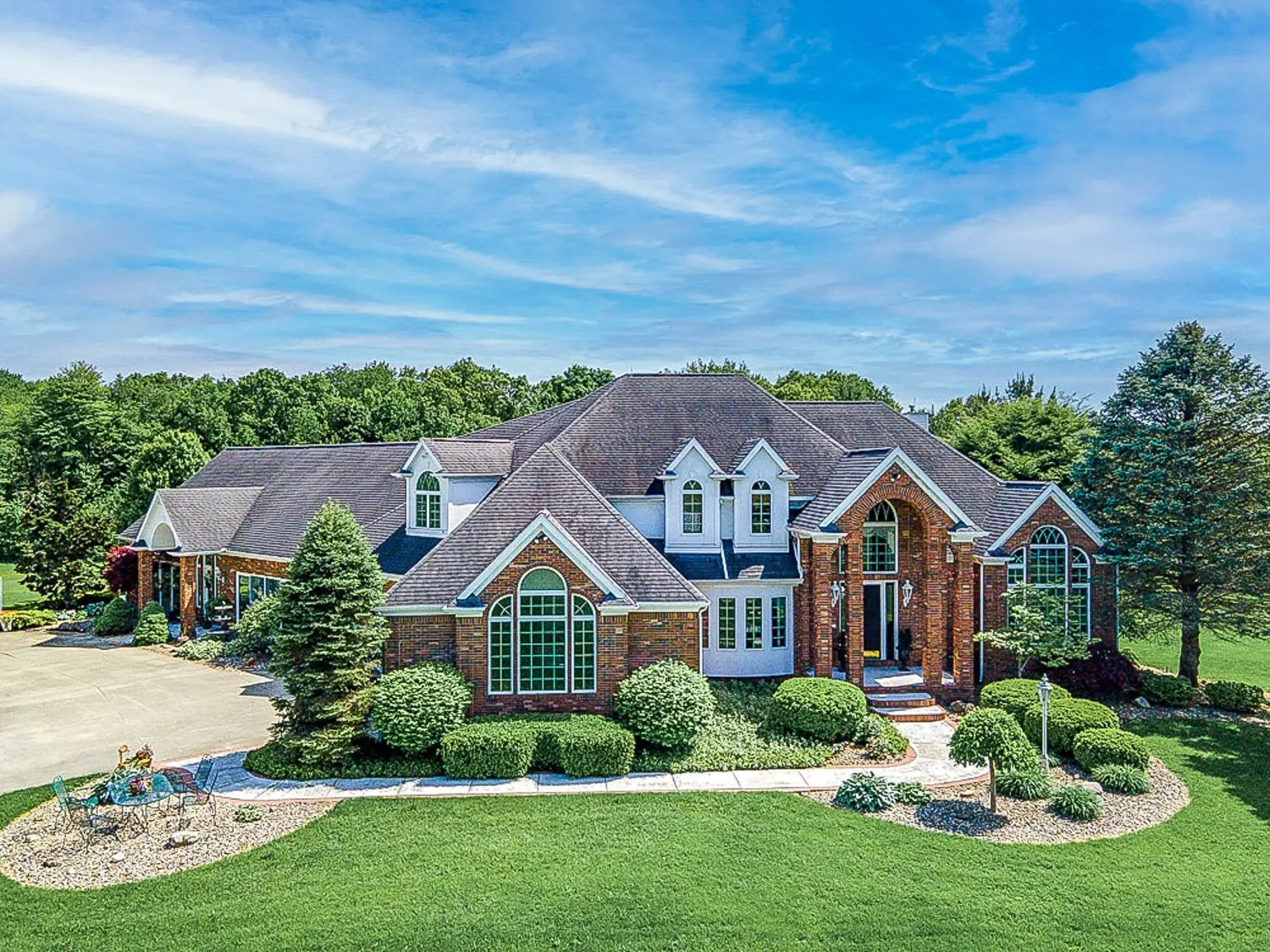
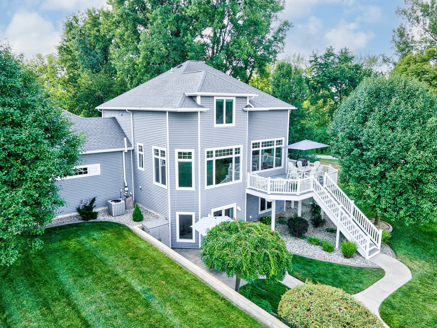
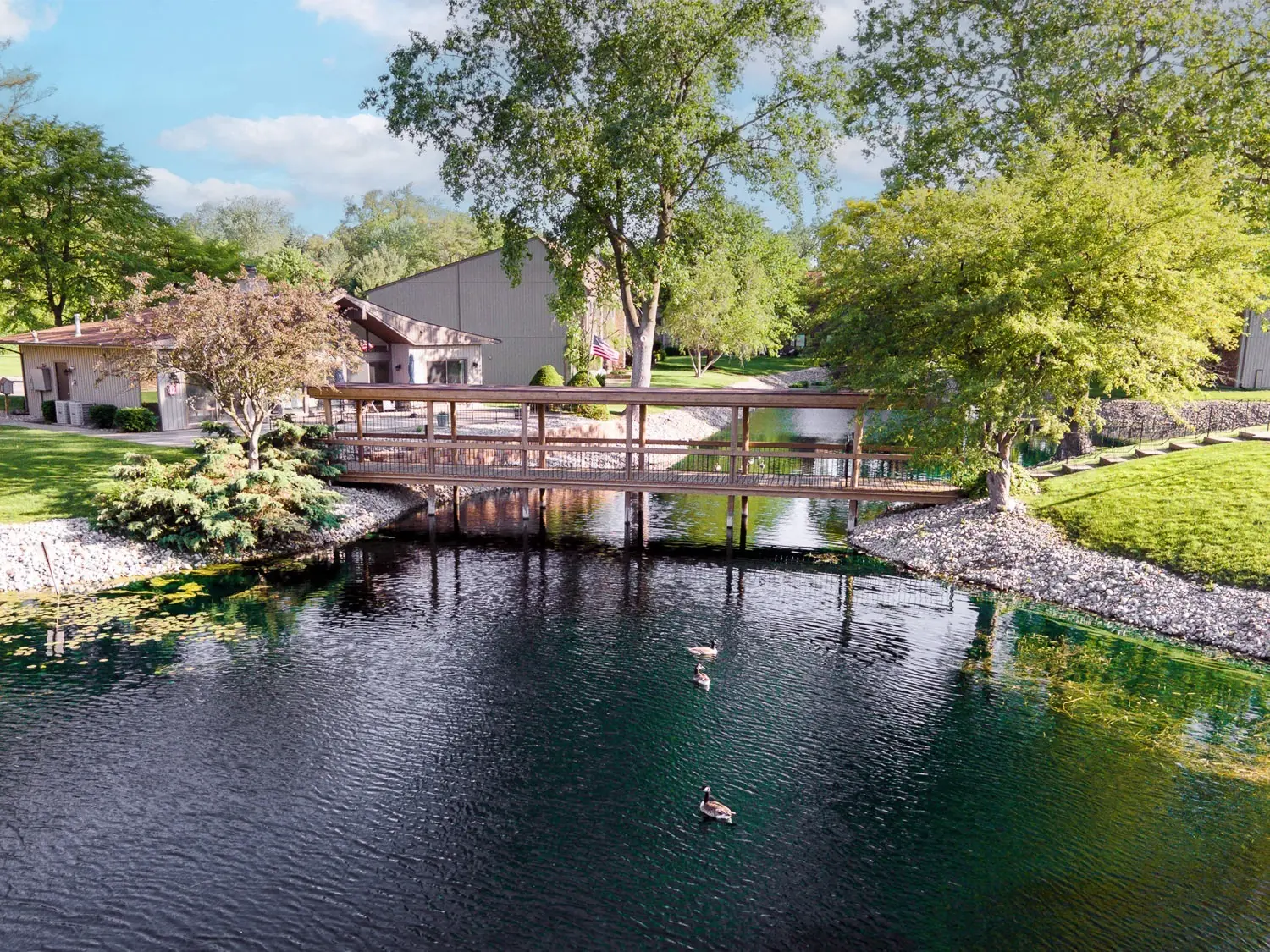
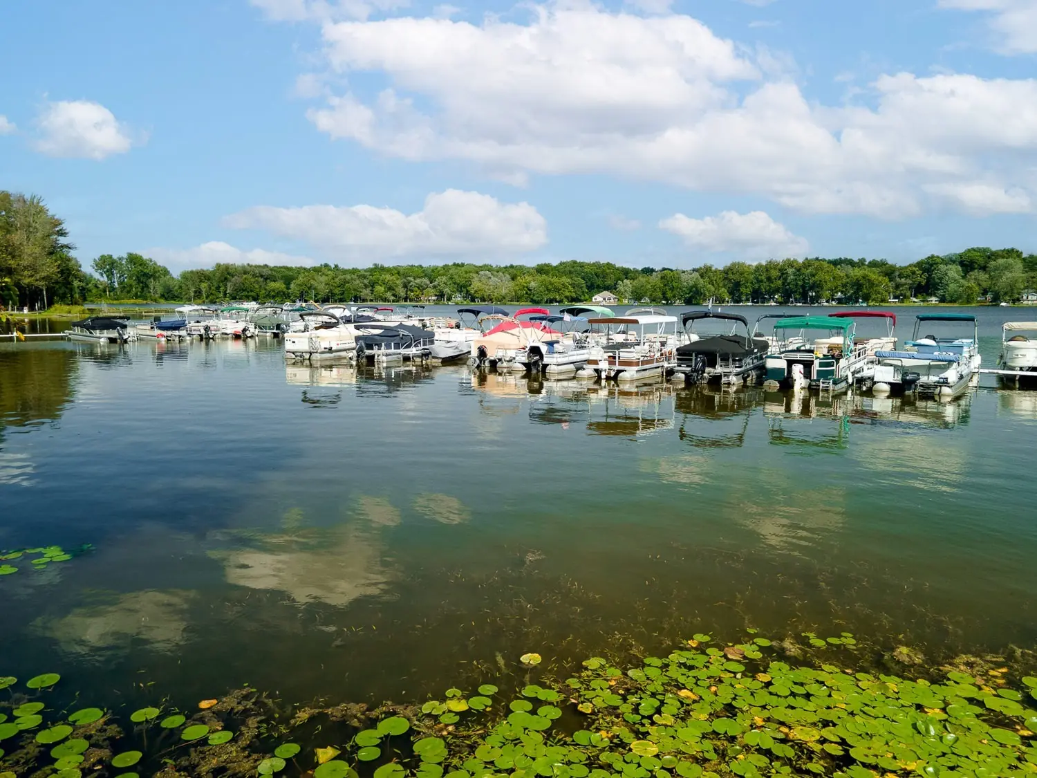
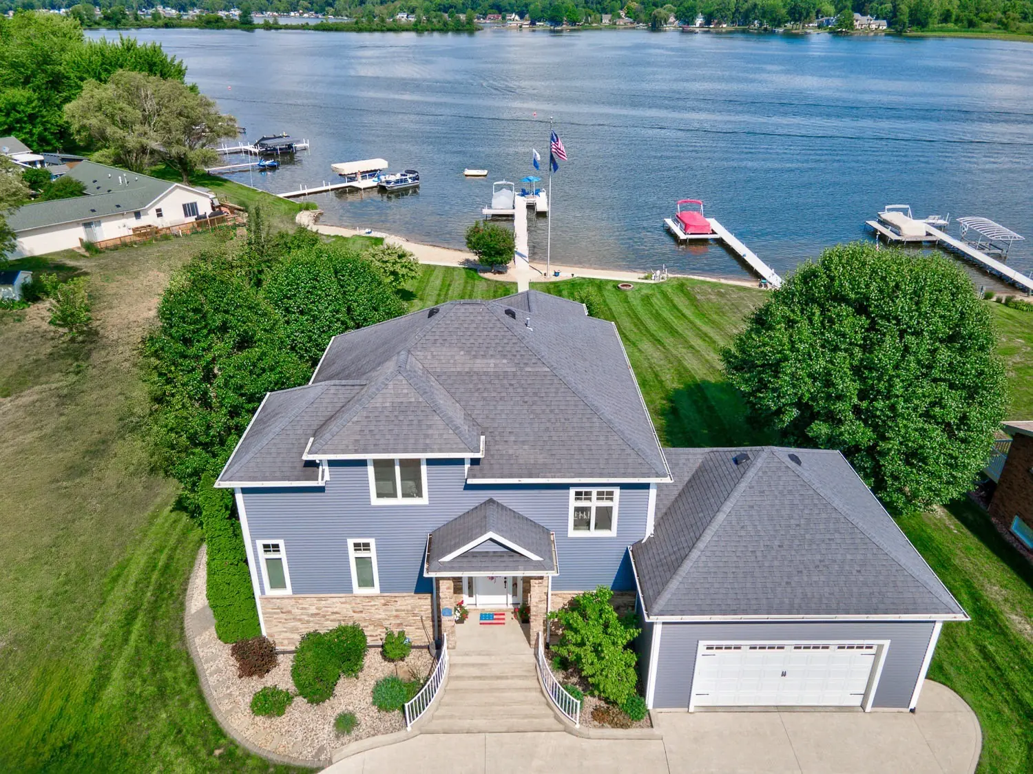
Aerial images taken at lower heights offer a close, elevated view of a property. This perspective helps to showcase standout architectural and landscape features. It reveals details that are often missed from ground-level perspectives…or give a better presentation from an elevated view.  The result is a fuller sense of the property’s appeal.

Schedule Drone Photos

We are FAA Part 107 certified and conduct all flights with full insurance. Flights are subject to varying FAA airspace restrictions dependent on your proximity to local airports and can be impacted by current weather conditions.  We will contact you prior to your shoot if these situations are an issue.

Quick Links